Local Walks
Chris French, May 2020
These walks are a small selection from a set of “historic” walks, produced by a couple of U3A groups. The first was a Thames Valley group, Historic Pathways (HP), starting in 2013 and the second was a follow on for Wokingham U3A, Walks into History (starting in 2016). The historic aspect was because we are emphasising Places of Interest (POI) along the route. The walk creator then leads a group and points these out. The walks vary from very short, 2 miles, to 7 or 8 (with a pub stop half-way round!).
We created 22 walks during the 3 years of the HP project and another 25 (so far) in the WIH group (with many repeats).
For each walk there may be up to 4 items: a document describing the route and a corresponding numbered map, with key turn directions along the route and a document of the POI and a corresponding numbered map. Sometimes these may be combined, depending who devised the route. I designed all the maps. Where the route description is labelled “WW Route” this is because many were adapted (by me) to a layout such that they could be posted on the Walkingworld site, of which I am a member.
I’ve chosen the following walks, which are fairly near to Wokingham and don’t need public transport. Follow the links to walk details which include maps, route directions and places of interest (POI).
Index to walks
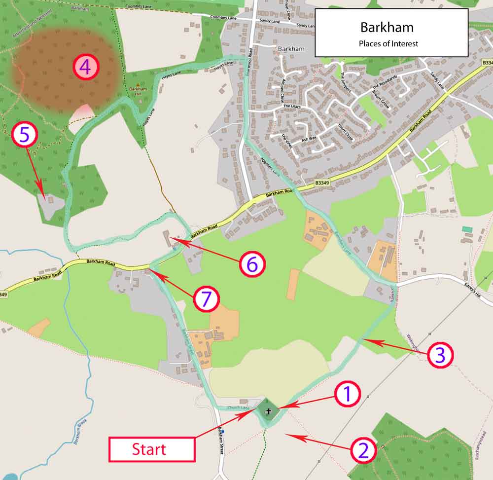
Barkham
Length: 4 miles
Places of interest
Places of interest description (PDF)
The POI map shows the (straightforward) route. There is no route description.
Places of interest map
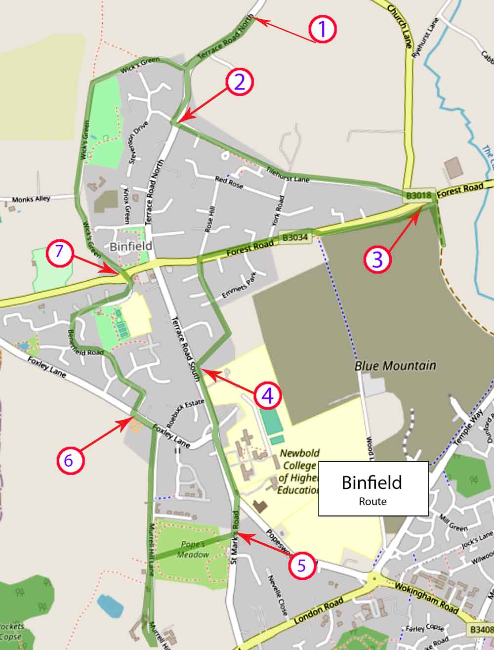
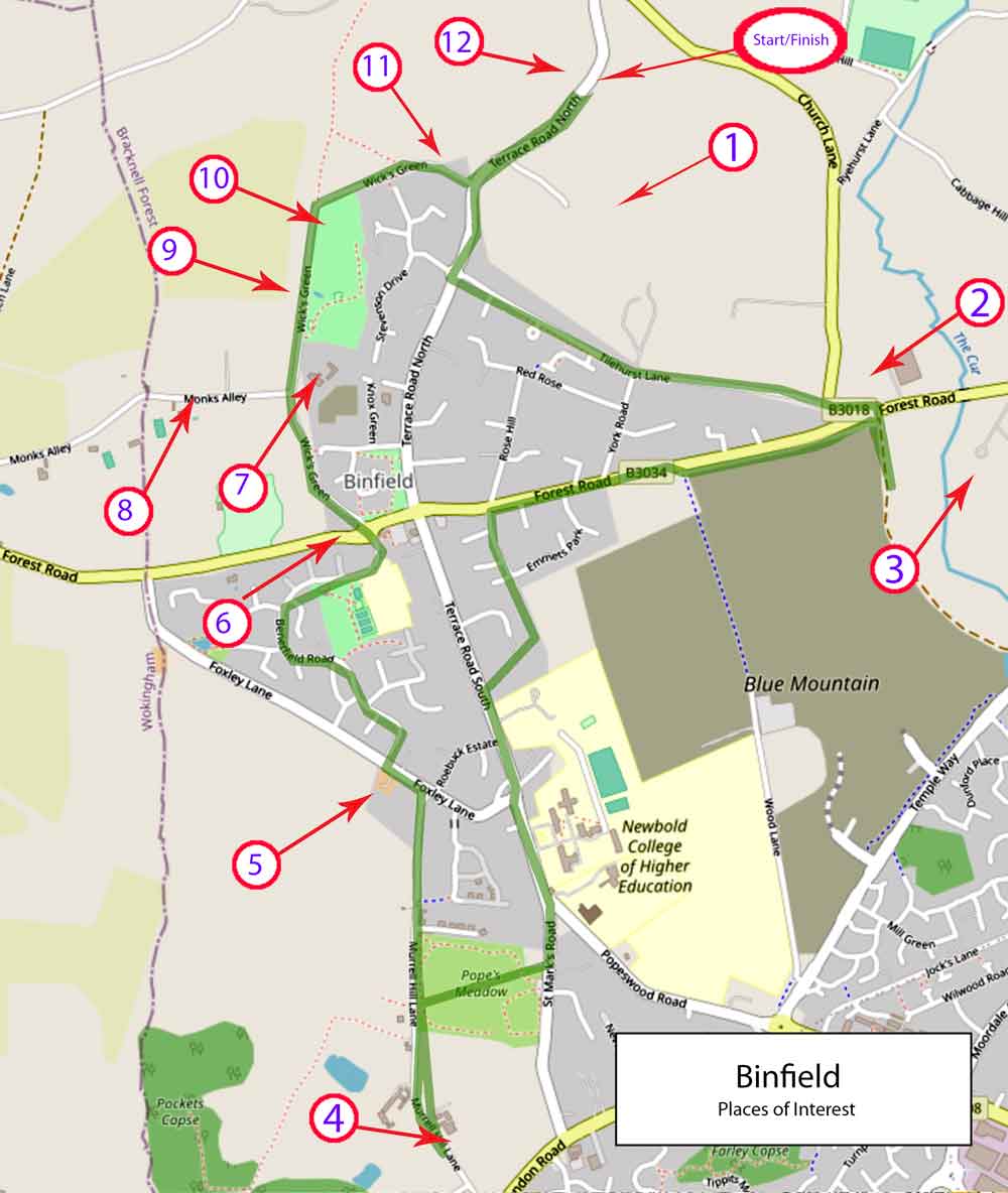
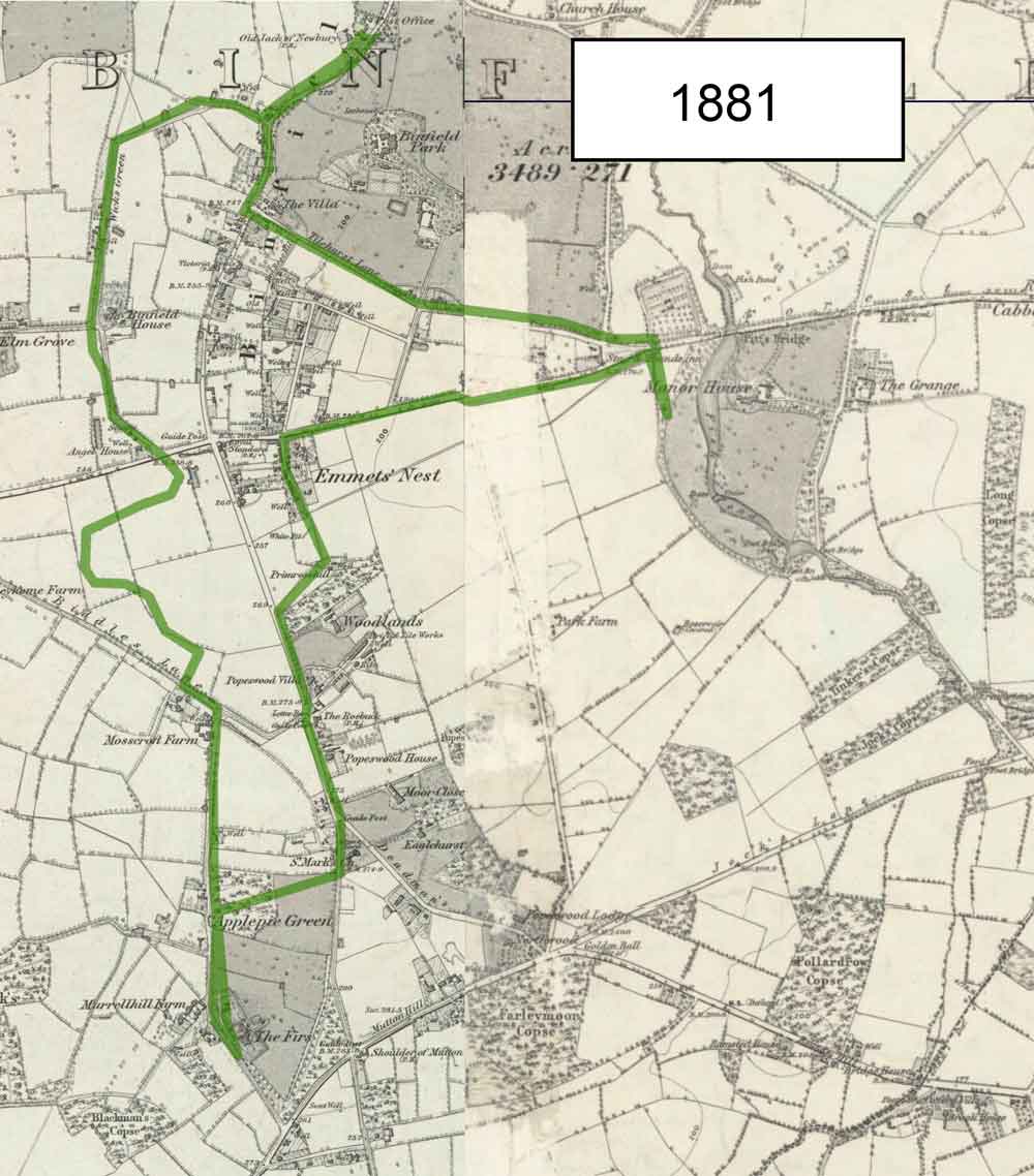
Binfield
Length: 4.5 miles
Walkingworld Route description (PDF)
Two historic maps (1958 and 1881) can be viewed for comparison.
Walkingworld route map
Places of interest
Places of interest description (PDF)
Places of interest map
Historic 1958 map
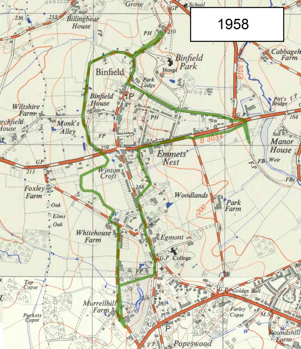
Historic 1881 map
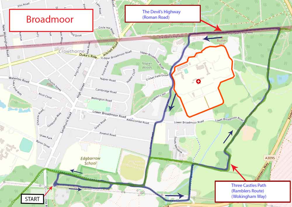
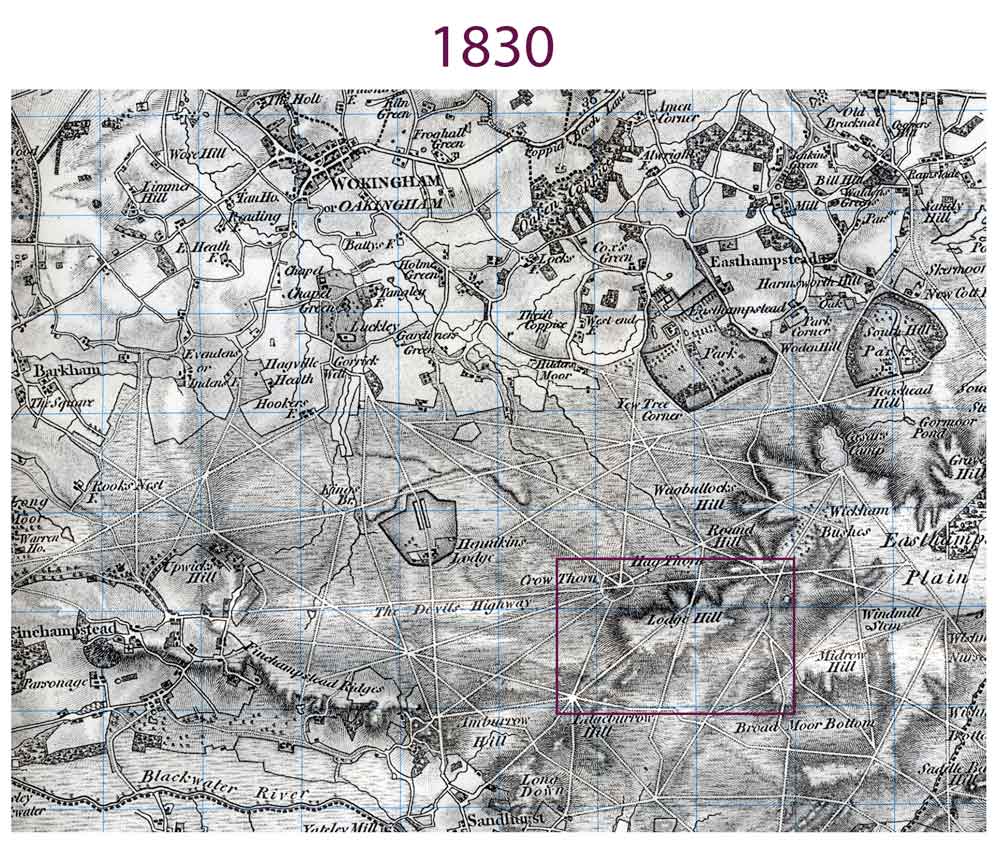
Broadmoor
Length: 4 miles
Route map
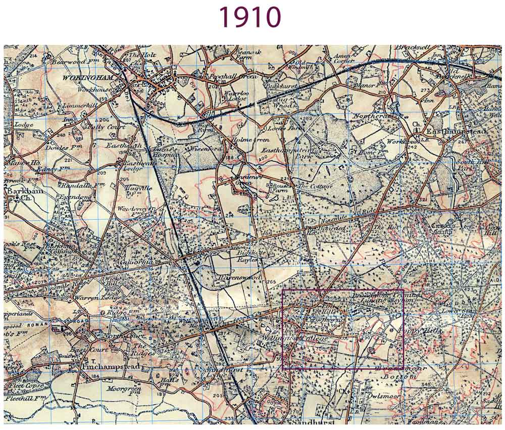
Historic 1910 map
Historic 1830 map
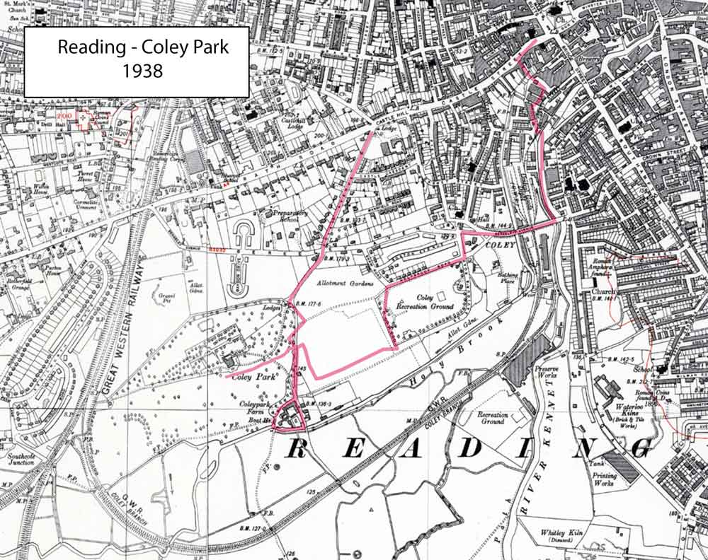
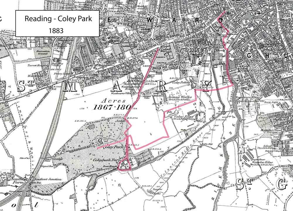
Coley Park
Length: 3 miles
There is no route map for this walk.
Places of interest
The POI document is designed to be self-guided.
Historic 1938 map
Historic 1883 map
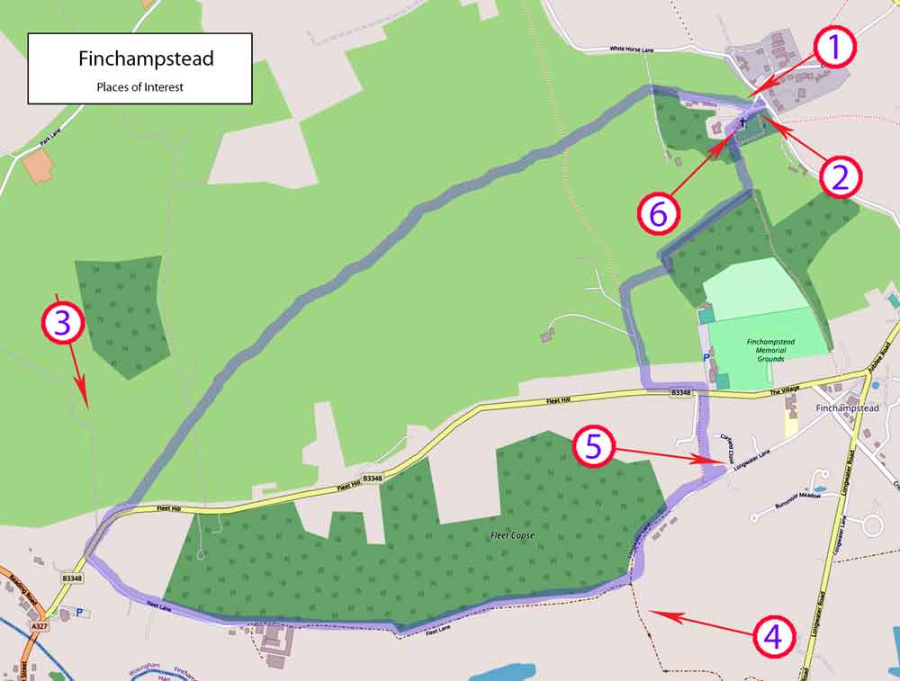
Finchampstead
Length: 3.5 miles
There is no route map for this walk.
Places of interest
Places of interest description (PDF)
Places of interest map
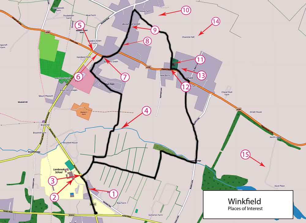
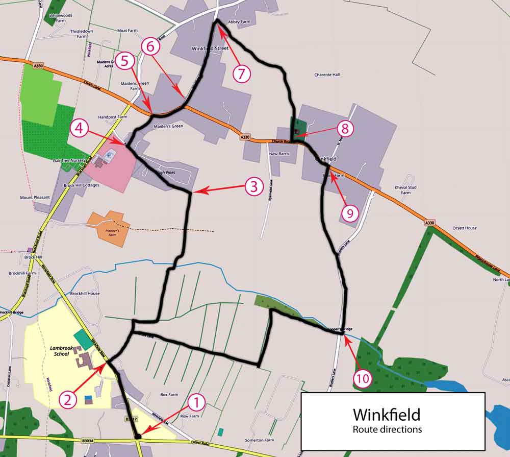
Winkfield
Length: 4 miles
Route map
Places of interest
Places of interest description (PDF)
Places of interest map